Around Home
Odometer 48102
Trip Meter 4
Port Orford, OR
Saturday April 11, 2015
The vistas here are so incredible. It doesn't hurt that it is a picture perfect day here on the southern Oregon coast. Okay it could be a few degrees warmer for my thin desert blood, but it's mostly a chilly breeze out of the north and when you duck behind a windbreak the sun is warm and heavenly.
We caught up on most of our chores today so we decided to scoot out and take a long walk on a sandy beach. Where better than Battle Rock beach right here in town.
The beach is named in memory of a pitched battle between early settlers and the Native Americans who did not appreciate the intrusion. Captain William Tichenor left 9 men here in 1851 to establish a settlement. Tichenor had no sooner sailed away to get supplies and provisions when things flared up between the Qua-to-mah natives and the intruders. The nine would-be settlers retreated to the sea mount pictured above and held off several attempts by the natives to kill or capture them. The nine finally escaped in the darkness of night. Port Orford would not be successfully taken by settlers until 6 years later.
Today is not about battles and clashes of cultures, the sea and time have washed away old treachery. The cool breeze at our backs we walk the two miles or so of sandy beach interrupted occasionally by large rocky outcroppings. The rocks are easily transited at low tide like we have this morning, but we keep a wary eye out for changing tide that could make our return route a hike up hill to the highway above.
The only thing we find this morning is the enormous heap of 4" diameter hawser, half buried in the sand and hopelessly tangled in a Gordian knot. I tried to find a loose end to see if I could pull it free- Ha! It is incredibly heavy- we'll leave it here and see what else is waiting to be found.
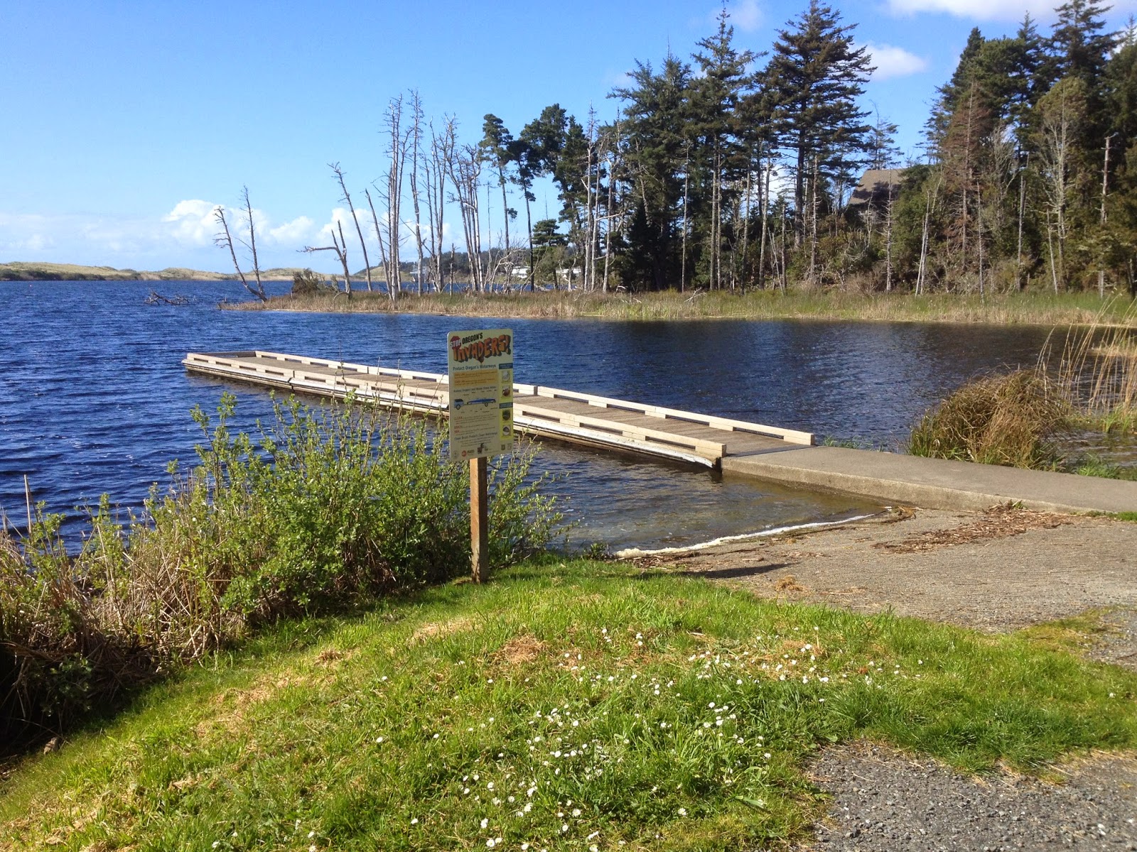
Port Orford is also a city built around a fresh water lake. Garrison lake was created when sand dunes pushed up by winter storms blocked the out let to several local streams. The lake is fairly small at 135 acres, but provides great fishing, swimming, and boating for families that live here.
Can't wait to get my own boat back in the water.
Your Traveling Friends
Jeff and Joan
Trip Meter 4
Port Orford, OR
Saturday April 11, 2015
The vistas here are so incredible. It doesn't hurt that it is a picture perfect day here on the southern Oregon coast. Okay it could be a few degrees warmer for my thin desert blood, but it's mostly a chilly breeze out of the north and when you duck behind a windbreak the sun is warm and heavenly.
We caught up on most of our chores today so we decided to scoot out and take a long walk on a sandy beach. Where better than Battle Rock beach right here in town.
The beach is named in memory of a pitched battle between early settlers and the Native Americans who did not appreciate the intrusion. Captain William Tichenor left 9 men here in 1851 to establish a settlement. Tichenor had no sooner sailed away to get supplies and provisions when things flared up between the Qua-to-mah natives and the intruders. The nine would-be settlers retreated to the sea mount pictured above and held off several attempts by the natives to kill or capture them. The nine finally escaped in the darkness of night. Port Orford would not be successfully taken by settlers until 6 years later.
Today is not about battles and clashes of cultures, the sea and time have washed away old treachery. The cool breeze at our backs we walk the two miles or so of sandy beach interrupted occasionally by large rocky outcroppings. The rocks are easily transited at low tide like we have this morning, but we keep a wary eye out for changing tide that could make our return route a hike up hill to the highway above.
Joan peers through one of several arch rock tunnels that we encounter in our two miles out and back. This is a very exciting hike after a Pacific storm, one never knows what will wash ashore.
Back at the parking lot where we started our walk this morning, my eye is drawn to a large propeller and shaft. A sign behind the display explains that it is all that is left of the Schooner Cottoneva. Port Orford has always been a very difficult port when the weather gets bad, the port offers little protection from the storm.
Our current port looks very capable, however looks can be deceiving. The large gap in the breakwater is storm damage. A breakwater started privately in 1935 was augmented by the Corps of Engineers in 1968.
Severe storms have damaged the breakwater to the point that it is only marginally effective as a wave barrier- however it has the proved to be very effective in creating the perfect water circulation to effectively silt in the port very quickly. Without periodic dredging it becomes unuseable due to sand accumulation.
Can't wait to get my own boat back in the water.
Your Traveling Friends
Jeff and Joan


Comments
Post a Comment